


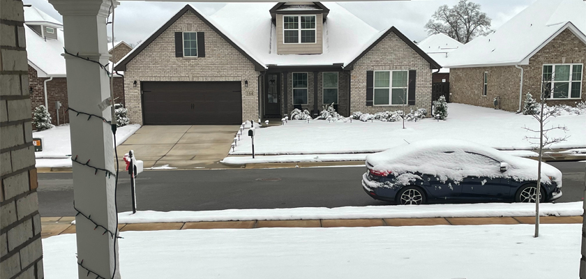
After a week of unseasonably warm temperatures and tornado warnings, people in Alabama experienced an early snow in 2022. Up to six inches of snow were reported in some parts of the state, including Meridianville, in Madison County.
Snow accumulation was even reported in south Alabama late Sunday night and into Monday morning.
In north Alabama, power outages were a problem Monday morning and crews were responding. In Huntsville alone, 8,272 customers were without power.
Other issues caused by the snow included downed trees and impassible roads.
The NWS urged drivers to use caution as roadways were expected to be slippery in parts of Jefferson, St. Clair, Cherokee, Calhoun, Etowah, Blount, Winston, Fayette, Marion and Lamar Counties. A Special Weather Statement was released that said black ice on local roads, bridges and overpasses is possible.
A major crash was reported at 6 a.m. Monday on Interstate 20, near the Kilgore Memorial Drive exit in Birmingham. There were also reports of black ice near Grants Mill Road.
The snow was expected to melt quickly after sunrise, in most areas, and road conditions even in northern parts of Alabama were already starting to improve by 7 a.m. Monday.
Temperatures are expected to stay very cold Monday throughout the day with most areas not expected to make it out of the 40s.
The National Weather Service (NWS) in Huntsville issued a Flood Warning for Paint Rock River near Woodville. The warning affects Madison, Jackson and Marshall Counties. The NWS advised people to never walk or drive through swift water.
Along with strong winds, south Alabama got a touch of white late Sunday as well. Places as far south as Baldwin County had reported dustings.


