A coastal Alabama resident urged researchers to examine a strange landscape feature near Mobile Bay. They found a 1,400-year-old canal.
According to the Smithsonian Magazine, the structure was used by Native Americans to travel between lagoons on the Fort Morgan Peninsula.
The feature had been recognized by locals as far back as the 1820s, referred to as the “Indian Ditch.” Though 19th-century Army engineers suggested it was a man-made feature that predated European settlers, retired archeologist Gregory Waselkov thought the ditch was an antebellum construction built by slaves.
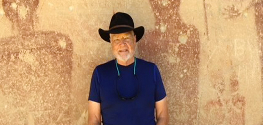
However, the feature didn’t receive adequate scholarly attention until resident Harry King became curious and urged researchers to investigate it further.
According to his website, King grew up in Andalusia and is an archeology hobbyist. He grew interested in archeology after finding arrowheads in his grandparents’ garden as a child.
King urged archeologists at the University of South Alabama (USA) to look closer into the canal.
Now, upon further investigation, Waselkov has changed his mind about what the ditch is.
He told the Smithsonian that there are many features like it in the swamps around Mobile, but this one is different.
Waselkov and his team of archeologists began investigating the site in 2017. They confirmed that the almost one-mile feature was a canal used for canoe travel by Native Americans, likely between 576 and 650 A.D.
“Transportation and communication throughout southeastern Native North America depended for millennia upon dugout canoe travel on the region’s waterways, documented by oral and written accounts from the last five centuries and by discoveries of hundreds of dugout canoes,” Waselkov wrote in his report that was published in the Journal of Field Archaeology.
“... The two systems - trails and rivers - complemented each other and were so thoroughly intermeshed, with river fords and crossings connecting land routes and overland portages linking discontinuous waterways, as to form a single expansive system of dry and wet paths,” Waselkov continued.
Most of the canal has been lost today, but it could have stretched all the way from Oyster Bay south to the Little Lagoon in its time.
The canal was radiocarbon-dated to the Middle Woodland period, a cultural phase in which Native Americans commonly used pottery and lived in small villages made of mounds.
One of these villages, Plash Island, was located about a mile and a half north of the canal. The researchers said they believed that settlement was responsible for the canal’s construction, and the villagers used the canal to fish near the Gulf while not having to circumnavigate the Fort Morgan Peninsula through high surf.
According to the Smithsonian, the Native Americans living in the Gulf Coast region at the time did not grow crops, so they relied on fish and foraged plants in the area for sustenance.
Victor Thomson is the director of the Laboratory of Archaeology at the University of Georgia. He was not involved with the study of the canal, but he reviewed it.
Thomson told the Smithsonian that the Alabama canal predates many similar structures in the Southeast.
To connect with the author of this story, or to comment, email will.blakely@1819news.com or find him on Twitter and Facebook.
Don’t miss out! Subscribe to our newsletter and get our top stories every weekday morning.


